To meet the modern demand for energy consumption, many oil and gas companies are searching for ways to transition and expand quickly and efficiently from traditional energy sources to renewable energy options such as geothermal.
But how can companies maximize time, effort, and profitability in order to make this transition feasible?
“Without a good understanding of the geology of a prospect area, exploration is merely guesswork. Three-dimensional geological models are the foundation of geothermal exploration and the interpretation of geochemical and geophysical signatures of geothermal systems.”
— A History of Geothermal Energy Research and Development in the United States | Exploration
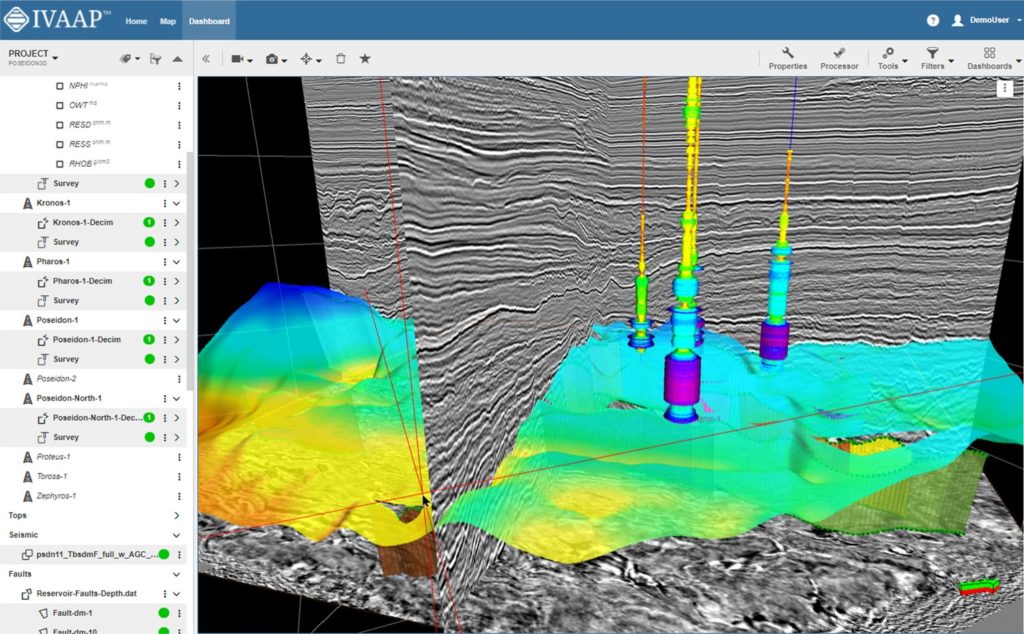
Whether you build a new geothermal plant from scratch or repurpose an existing well, each phase of the project requires gathering a large amount of data and analyzing it in context. From exploration to development, companies must be able to visualize their subsurface data at each stage in the lifecycle of a geothermal power plant to make smarter business decisions around feasibility, drilling, and operations.
For developers and product owners building software dedicated to geothermal energy, INT provides the visualization technology to empower geoscientists, drillers, and operators with the right visualizations to make key decisions, fast.
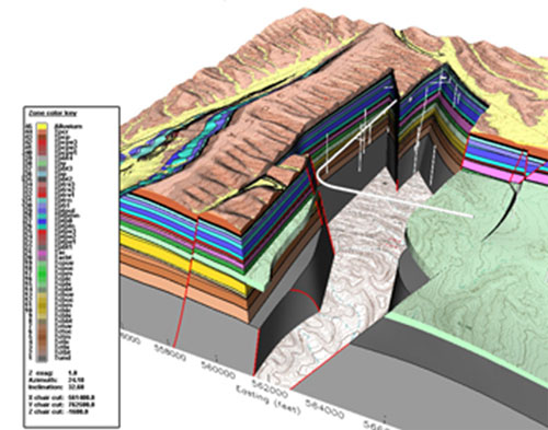
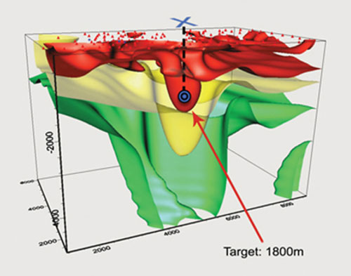
Geologic Framework Model
(Complex Fault Blocks & VolcanicTuff)
3D image of Subsurface Resistivity
(Areas of low resistivity, drilling target)
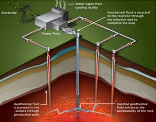
Enhanced Geothermal System
(U.S. Department of Energy)
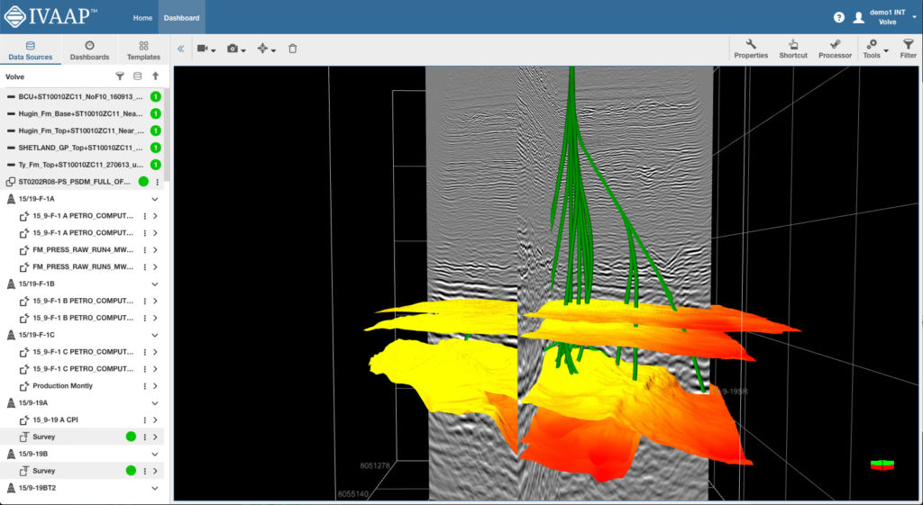
Augment your visualization with customizable, domain-specific libraries with GeoToolkit or leverage IVAAP, INT’s industry-leading domain visualization platform.
INT offers two options to choose from:
For more information about how IVAAP or GeoToolkit can help you visualize your geothermal project, request a free demo.
For more information about how IVAAP or GeoToolkit can help you visualize your geothermal project, contact us for a free demo.